Mission
Sageland Collaborative provides science-based strategies for wildlife and land conservation.
Vision
We envision a future where our communities thrive based on interconnected ecosystems, wildlife, and people.
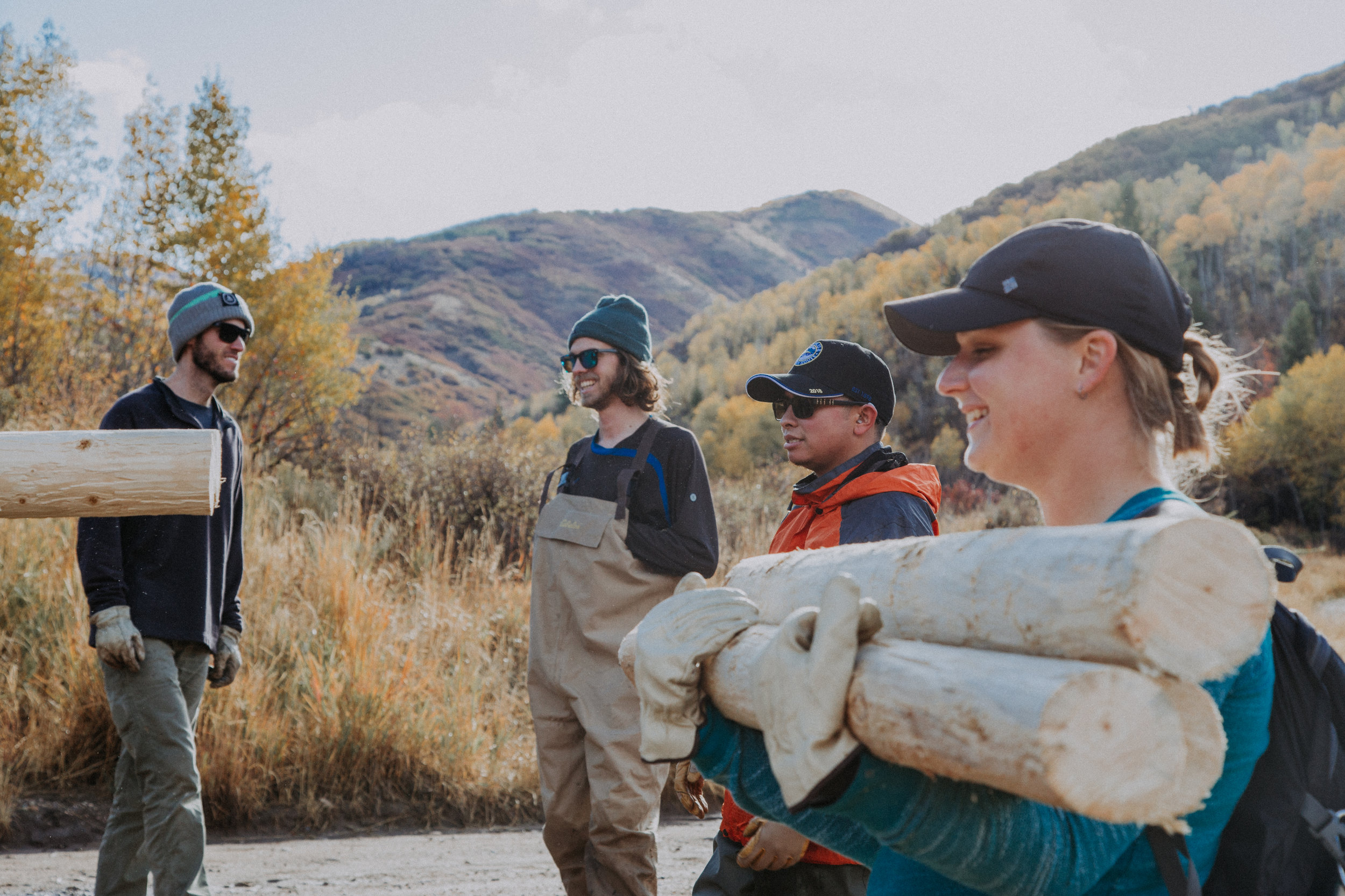
Get ready for our upcoming project season!
Do you love Western wildlife and landscapes? Whether you want to wade through Utah’s streams or sort images from a computer, there’s a project for you. Learn more below.
Photo by Sierra Hastings

Goals
Sageland Collaborative’s approach to conservation is through our partnerships, putting science into action, and basing our work in community. Together, we build on our shared values for wildlife and the land, we celebrate the wins, and we find joy in our work together. Our goals for the next 4 years are:
Increase biodiversity and populations of special-status species.
Ensure wildlife species have pathways to move freely across the landscape.
Restore habitats so they are more resilient.
Work with our community to better realize our vision for thriving ecosystems, wildlife, and people.
Maintain a talented and committed Board and staff that allow Sageland Collaborative to realize our mission and vision.
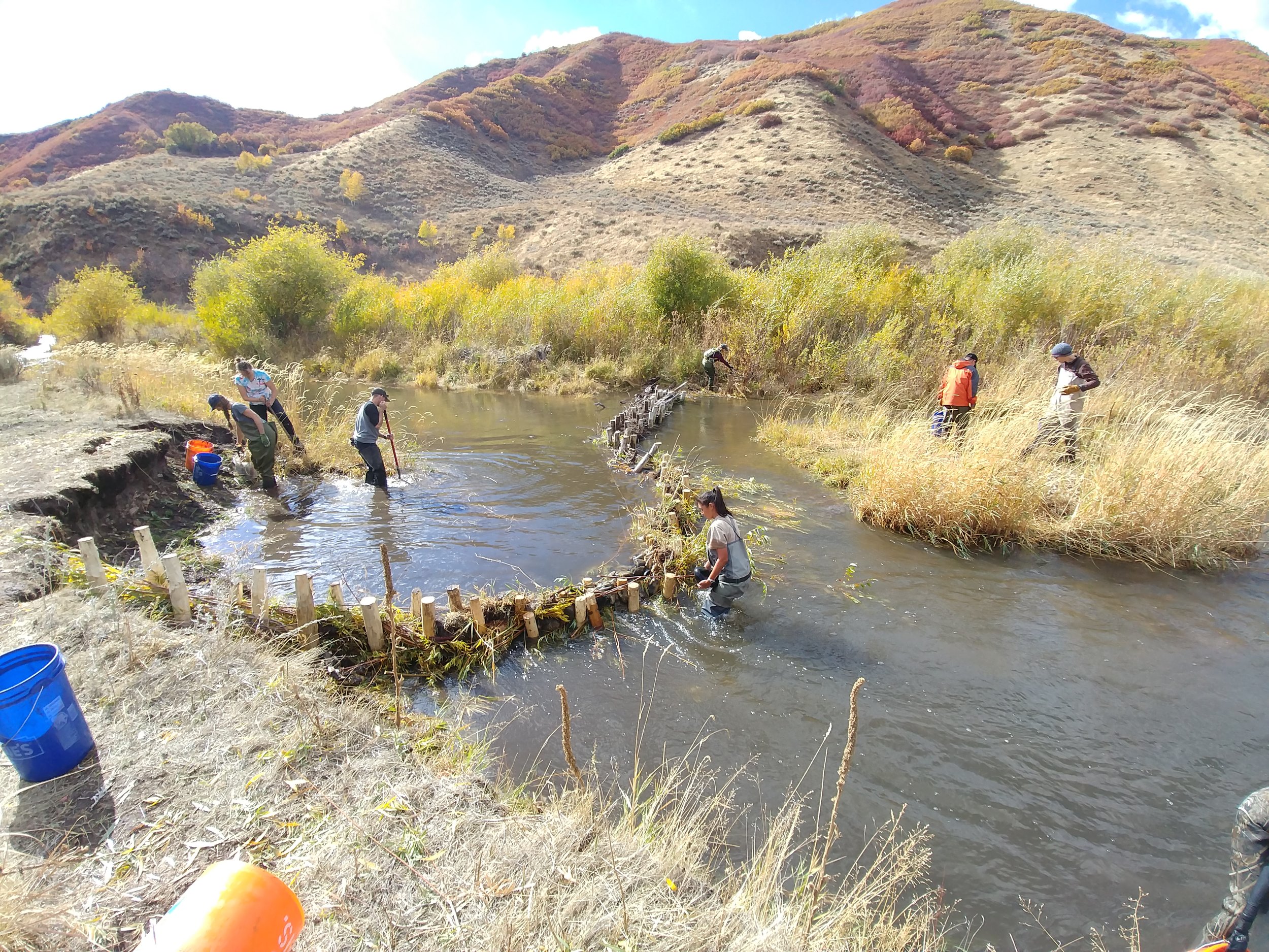
Engaging the Community in Conservation Science
Photo by Sarah Woodbury
History
Founded by Jim Catlin in 1996 to assist the citizens’ roadless re-inventory of Bureau of Land Management lands in Southern Utah, Sageland Collaborative began as a means to provide much-needed science to the conservation of wildlife and wildlands. The study area for this initial project, called Wild Utah Project, consisted of nine million acres of wilderness, which is home to rare desert waterways, wildlife, and wildlife habitat. These efforts resulted in the proposed America’s Red Rock Wilderness Bill in Congress.
Today, we work to achieve our vision through partnerships, bringing science to action, and basing our work in community. We foster collaborations based on strengths and build on shared goals. We are committed to bringing science into on-the-ground action and we are devoted to working with the entire community.