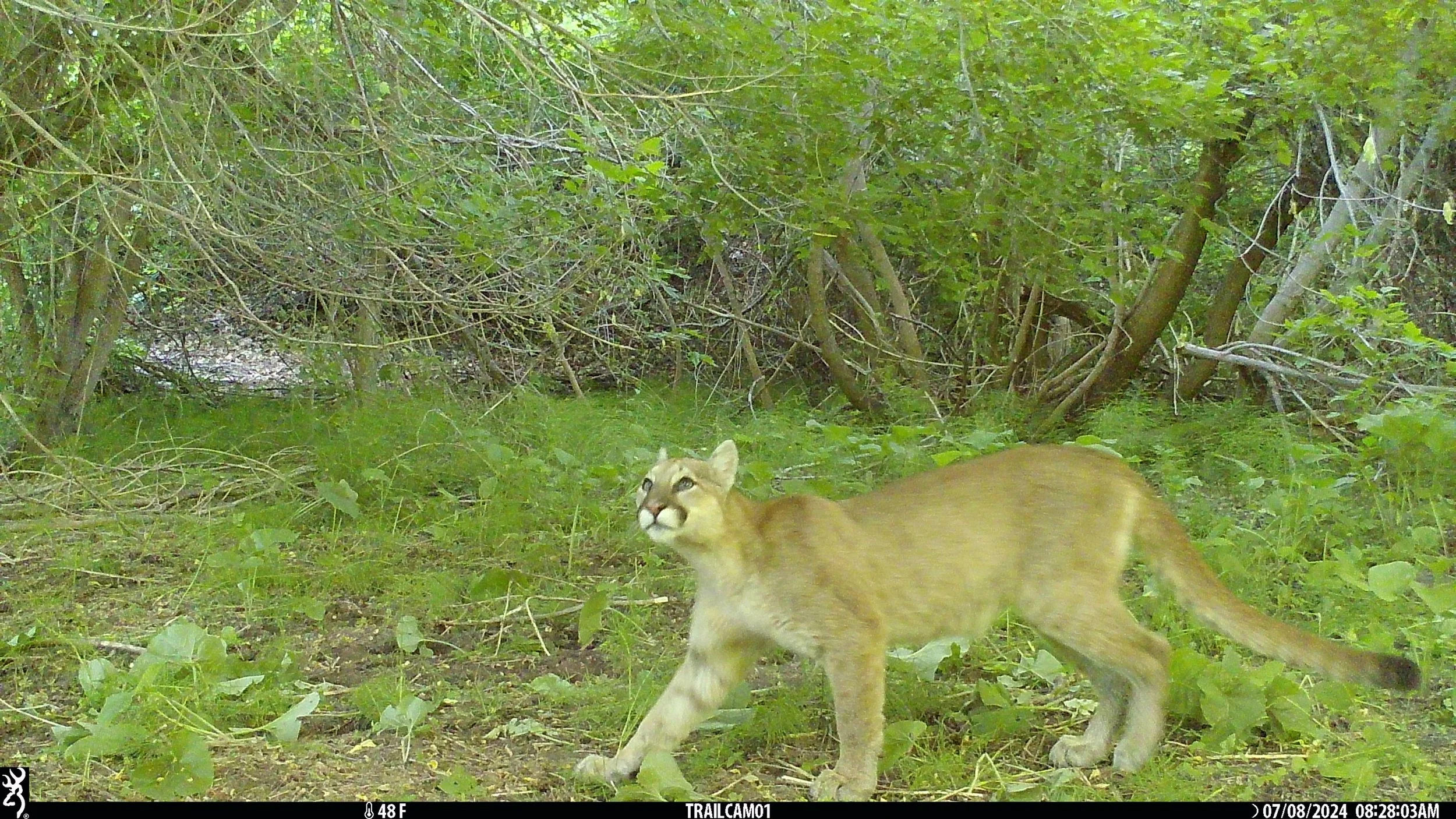
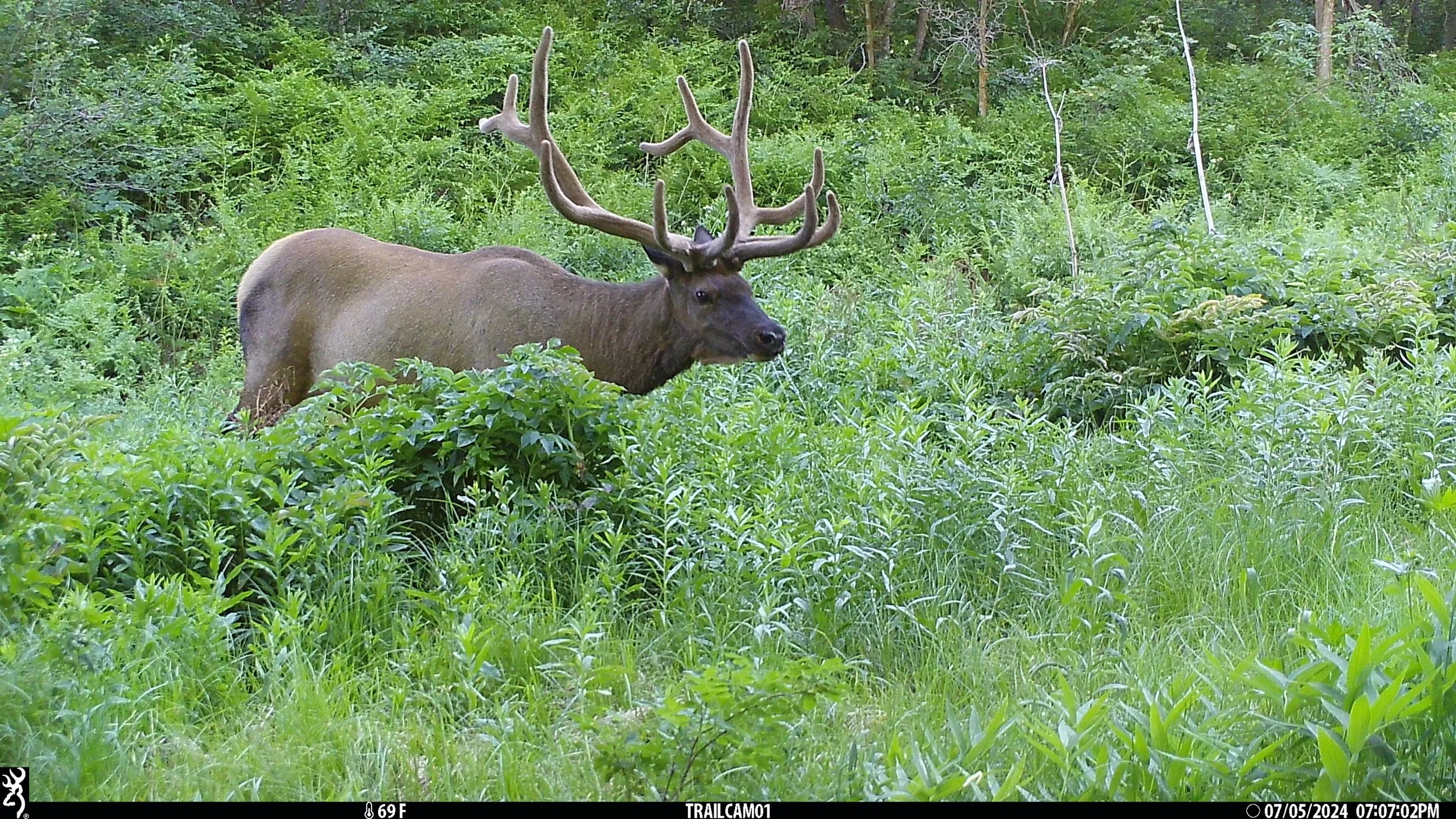
2024-2025 project sticker, designed by Kristen Varganega.
With the urban population of Utah continuing to grow at one of the fastest paces in the United States, public lands in the state, which already comprise some of the most highly recreated areas in the country, will continue to see a growth in human influence. However, these lands also support a thriving wildlife community, with some of the most charismatic species representative of the American West calling Utah’s wild-urban interface home.
Wildlife Watch was designed to provide baseline data about local wildlife and habitat across this unique landscape. With these data, we are uncovering how humans alter the ways wildlife interact with their environment, focusing on how species may continue to persist in an everchanging matrix of wild and urban landscapes.
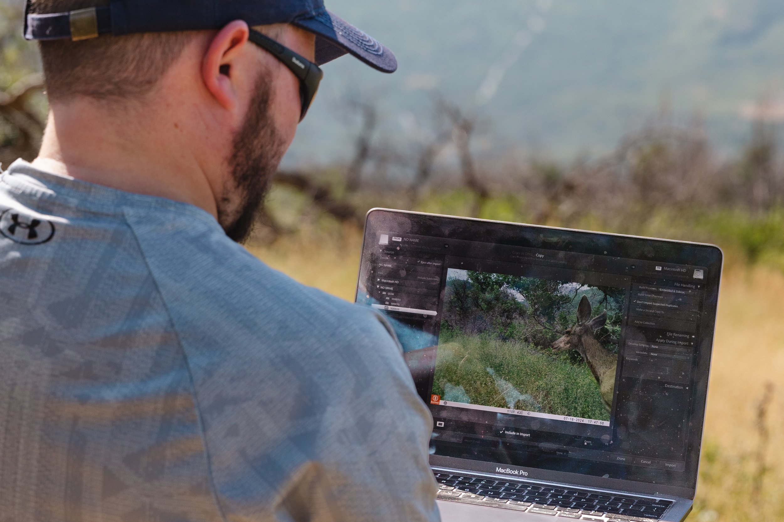
To do this, Sageland Collaborative teamed up with the Human-Wildlife Coexistence Lab and the Science Research Initiative at the University of Utah, Salt Lake City’s Trails and Natural Lands, Utah’s Hogle Zoo, The United States Forest Service, and the Utah Division of Wildlife Resources to create the Wildlife Watch project. Volunteer community scientists on this project analyze images captured by trail cameras across the state to help scientists map wildlife movement and behavior across a gradient of wild to urban landscapes, elucidating what it takes to make it in an ever-changing world.
This project kicked off in 2018 and is one of our most successful community science projects to date! Last year over 100 dedicated volunteers collected and analyzed 100,000’s of trail camera images to help understand the Wasatch’s wildlife populations and movement corridors.
Volunteer Resources
Image Analysis
You can sign up to join our Image Analysis Team at any time during the season. For this part of the project, you’ll work remotely, from anywhere with computer and internet access. You’ll go through wildlife camera images and identify wildlife in the photos, processing the data into information that can be used for things like migration maps or habitat hotspot maps.
This can then be used by decision makers in planning. Future applications could include:
Making development plans that consider wildlife needs (e.g. avoiding a road through an key habitat)
Considering wildlife bridges and underpasses in areas where wildlife migration routes and roads intersect
Prioritizing certain crucial areas in conservation planning
Contributing to nationwide and international studies on human-wildlife interactions
Gather your friends, family, or coworkers and see who can analyze the most photos! Start by simply signing up to receive project updates, then watch through our Wildlife Watch Image Analysis training video below:
Additional Image Analysis Resources
Step-by-Step Image Analysis Guide (PDF) - A document with steps to creating your account and getting started tagging wildlife
Video Guide for Tagging Wildlife (video) - Project lead Dr. Austin Green details how to tag wildlife on the project platform
Mammal Identification Reference (PDF) - A document with support for identifying wildlife in the region
Conserve Utah’s wildlife by donating today!
Project Information
Field Season: You can volunteer to analyze wildlife images anytime.
Training Required? Yes. Please watch our recorded training to learn how you can participate in Image Analysis!
Volunteer Commitment Level: Flexible! Analyze images when you’re able, from wherever you have access to a computer with WiFi.
Communications: We send email updates throughout the year as images become available for analysis. Sign up to receive project newsletters!
If you have any questions, please email project lead Dr. Austin Green (austin@sagelandcollaborative.org)
Project Updates
Check back soon!


